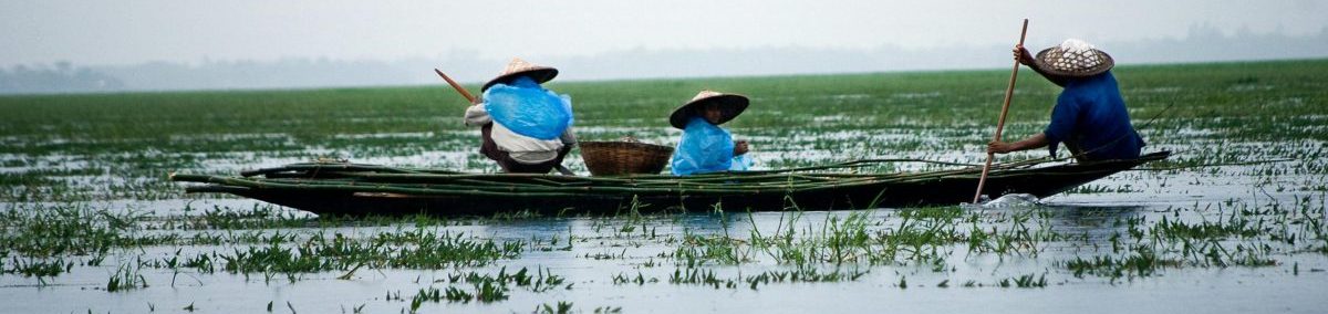
Bangladesh’s geography plays a crucial role in shaping its landscape and susceptibility to natural hazards. Situated in the delta region formed by the confluence of major rivers like the Ganges, Brahmaputra, and Meghna, it’s predominantly low-lying and prone to flooding during monsoon seasons. This geographical feature, while fertile for agriculture, also makes the country highly vulnerable to climate change-induced risks such as sea-level rise, storm surges, and salinity intrusion into freshwater sources. The country’s location along the Bay of Bengal exposes it to tropical cyclones, which can cause devastating damage to infrastructure, agriculture, and human lives. Moreover, Bangladesh’s geography exacerbates the impacts of climate change, with rising temperatures leading to more frequent and severe heatwaves, affecting public health and agricultural productivity. Despite these challenges, Bangladesh has shown resilience and proactive measures in addressing climate change. Initiatives like the construction of cyclone shelters, coastal embankments, and early warning systems demonstrate efforts to mitigate the risks associated with its geographical vulnerabilities. However, ongoing adaptation efforts are crucial to safeguarding the livelihoods and well-being of its population in the face of evolving climate threats.